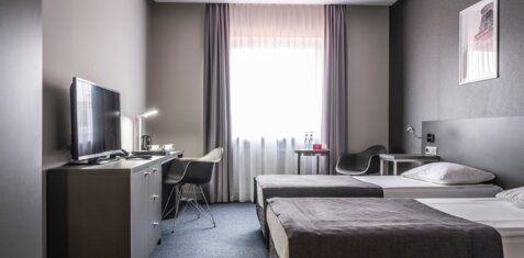
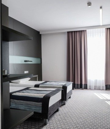
DESIGNED FOR RELAXATION
AT THE FOOT OF THE ŚWIĘTOKRZYSKIE MOUNTAINS
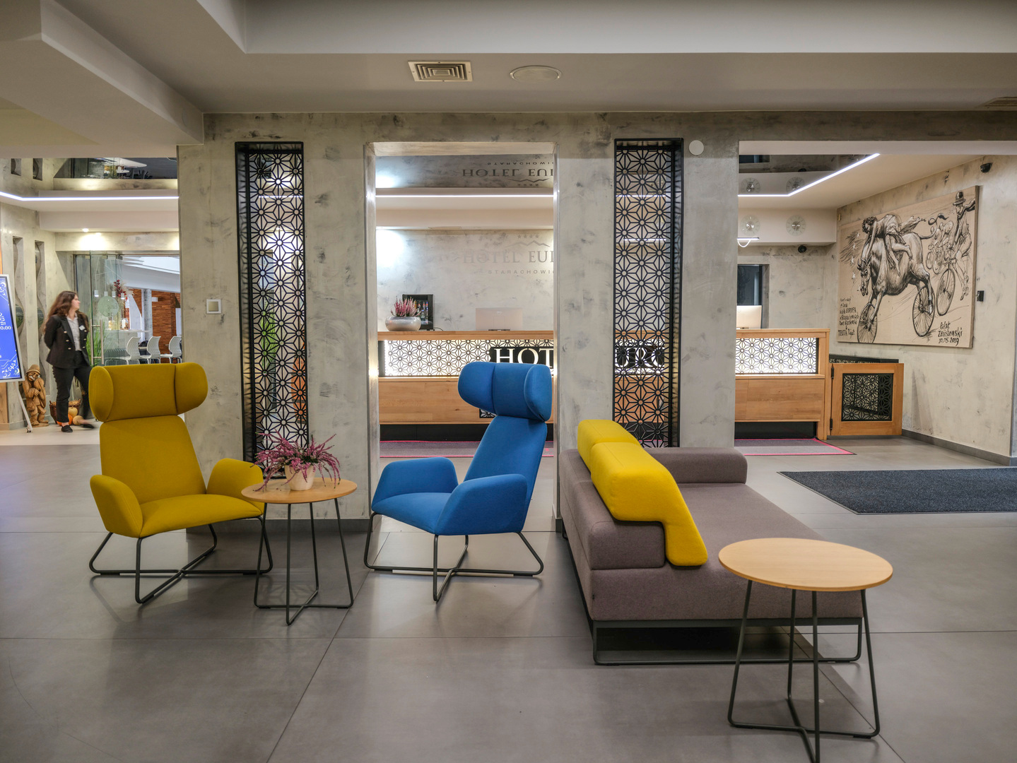
HOTEL EUROPA STARACHOWICE
At the foot of the Świętokrzyskie Mountains, you will find the perfect place to relax and unwind, or host the perfect party and celebrate your special day at a hotel with a spa with a pool.
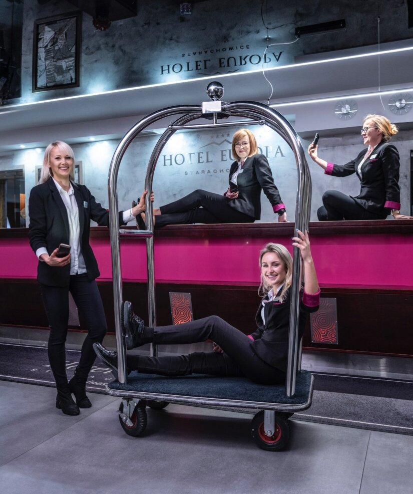


EXPERIENCE AND PROFESSIONALISM
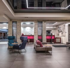
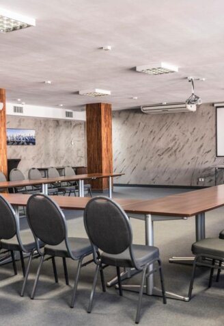
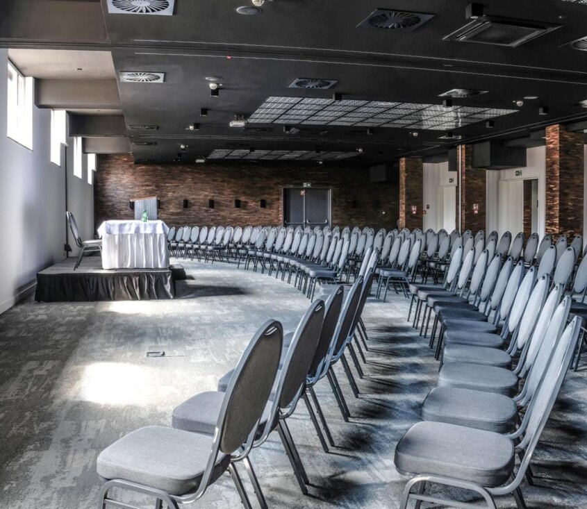
CONFERENCES
We offer our clients 9 conference rooms of various s and capacities, suitable for all kinds of conferences, banquets, seminars, training sessions, and other business meetings.
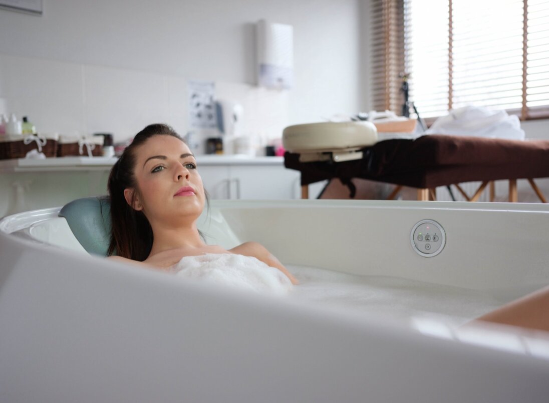
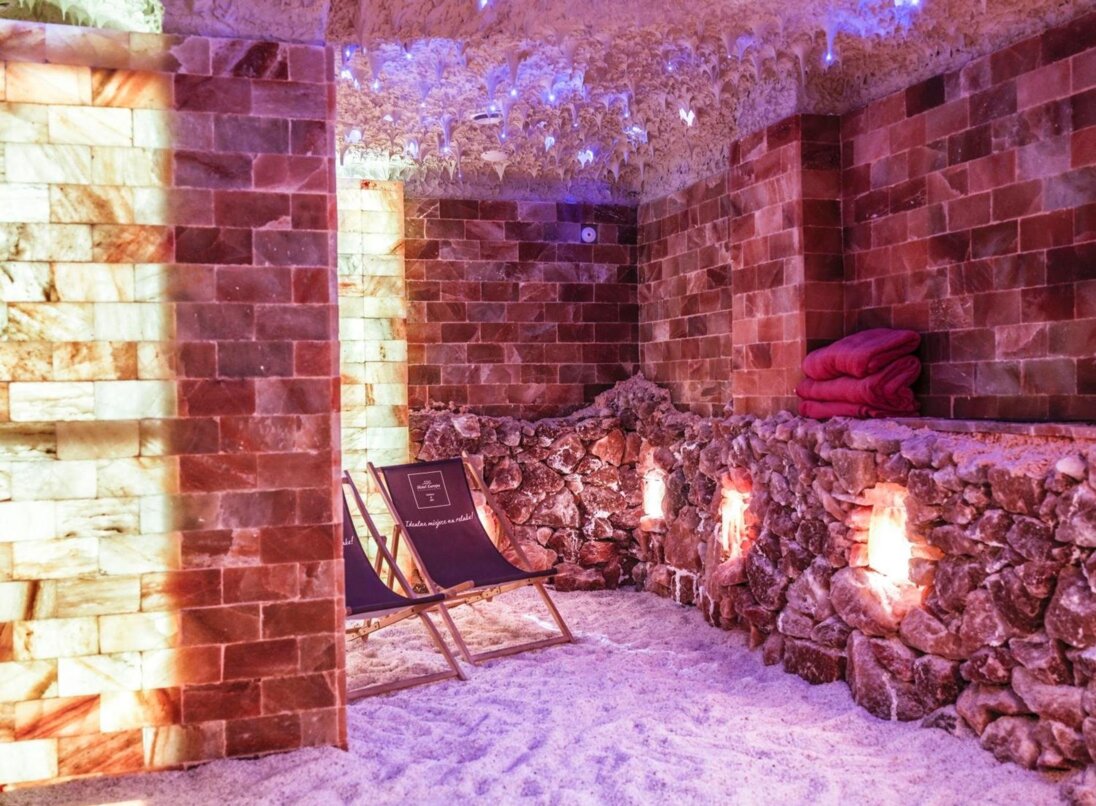
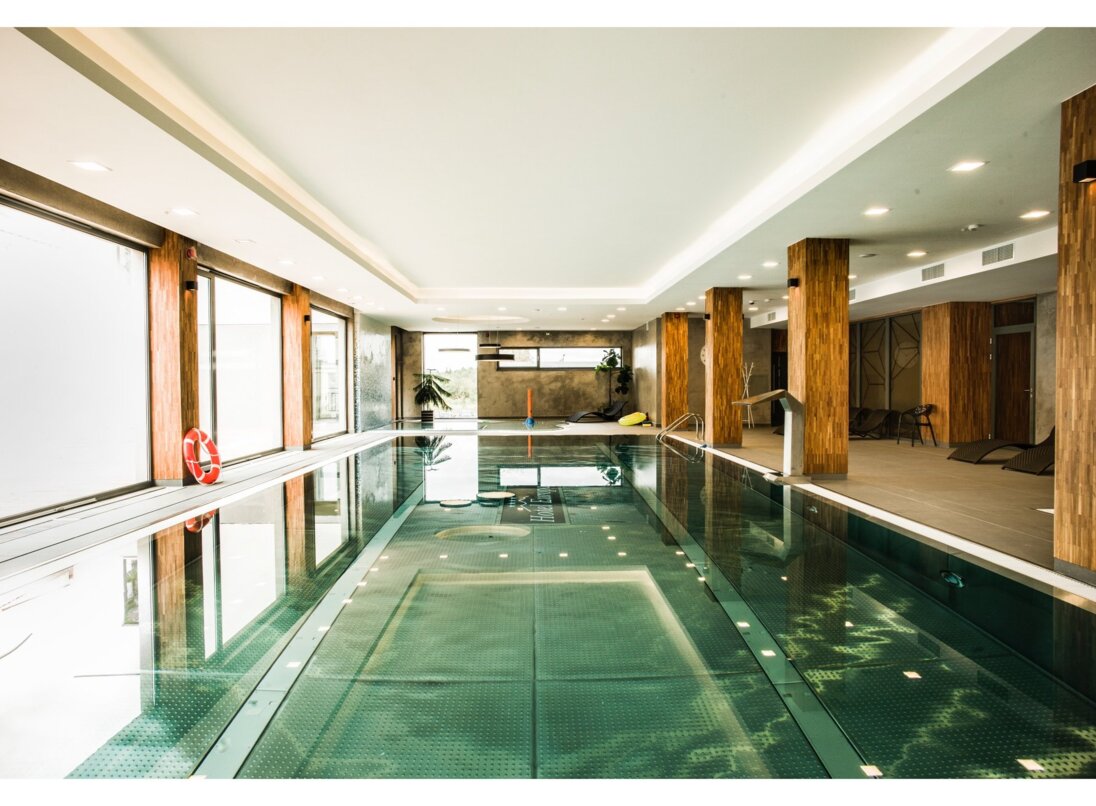
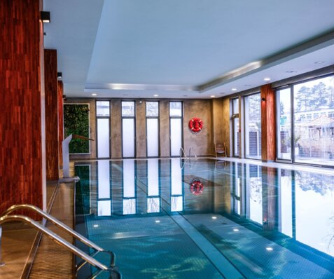
RELAXATION ZONE
beauty services, skin care treatments, beautifying, revitalizing, relaxing facial treatments for hands and feet, SPA baths, NeoQi capsule treatments, relaxing, slimming, aromatherapy massages
breathe in the healthy and moist air
15x6 swimming pool with water attractions (counter-currents, cascades, geysers) with a depth of 1.3m, wading pool for children
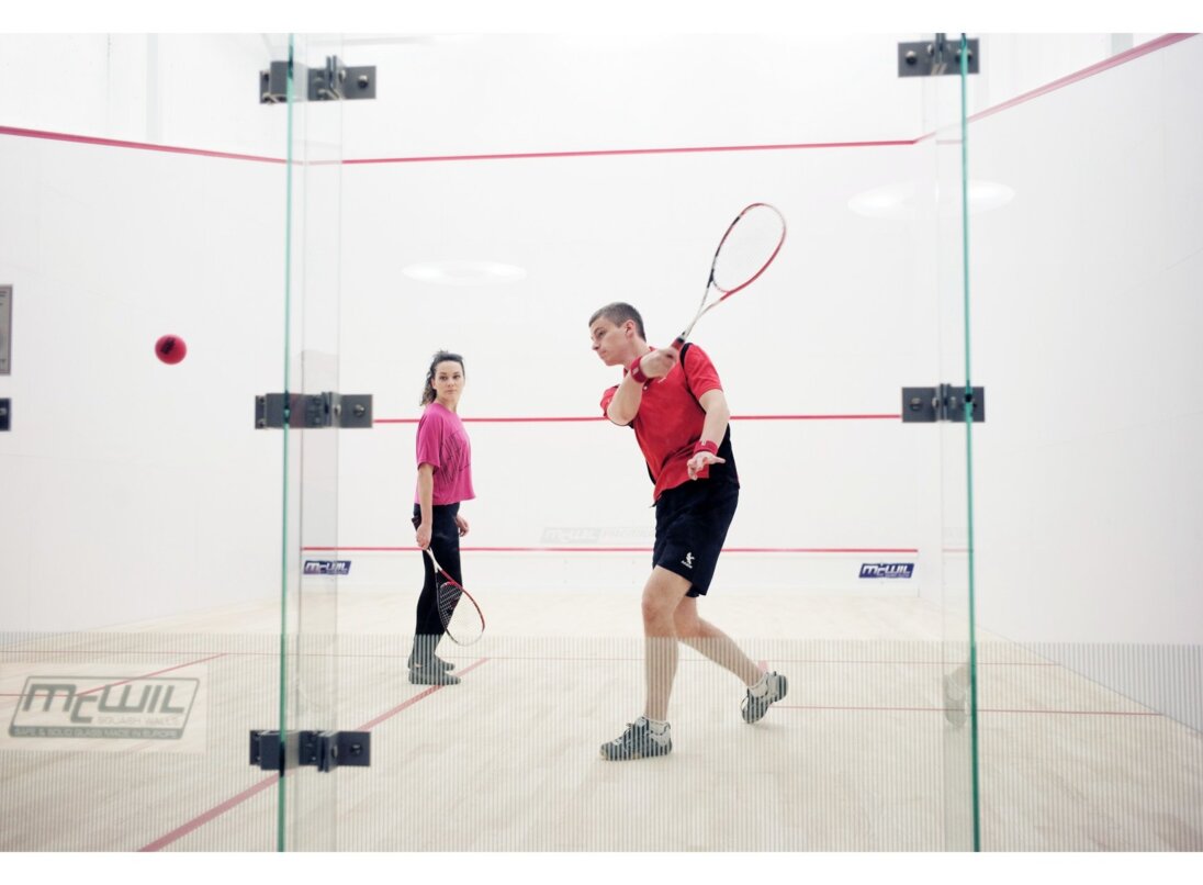
squash court
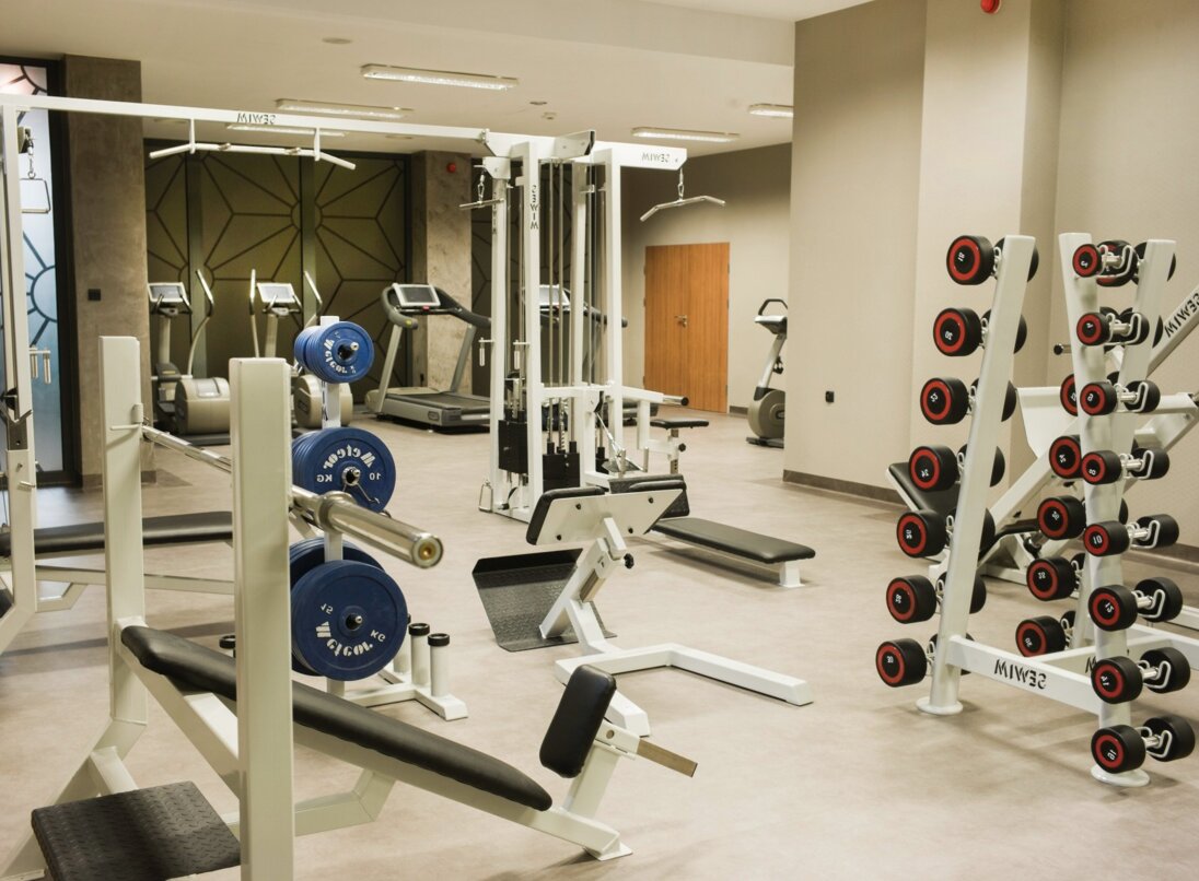
well-equipped fitness room (treadmills, bicycles, orbiters, bodybuilding equipment)
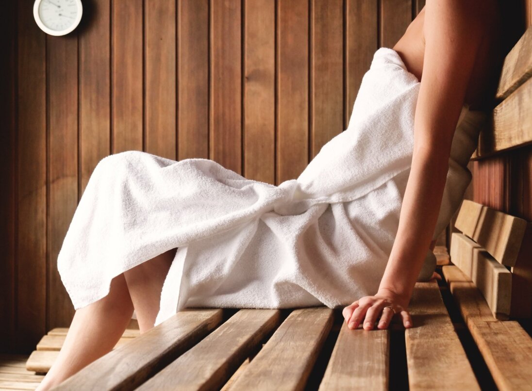
2 saunas (Finnish, steam bath)

UNFORGETTABLE FLAVORS
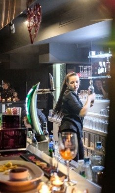
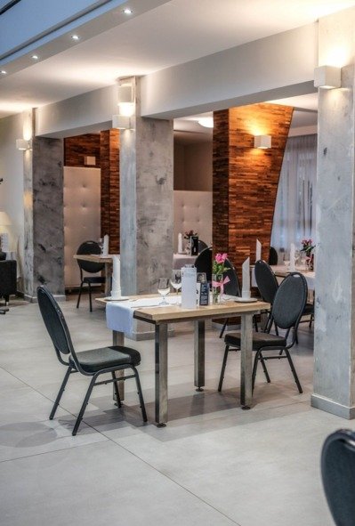
RESTAURANT
Hotel Europa**** invites you to the Europejska Restaurant, whose climate will satisfy even the most discerning guests. Yet it is not the atmosphere alone that lends it its charm - it is above all the exquisite cuisine and dishes from the hands of our outstanding chefs - Krystian Fedor and Artem Kadilov

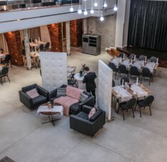
CORPORATE EVENTS, CATERING
BANQUETS
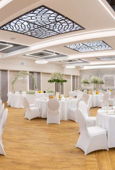
We offer our clients two banquet halls suited for conferences, banquets, and other business meetings.
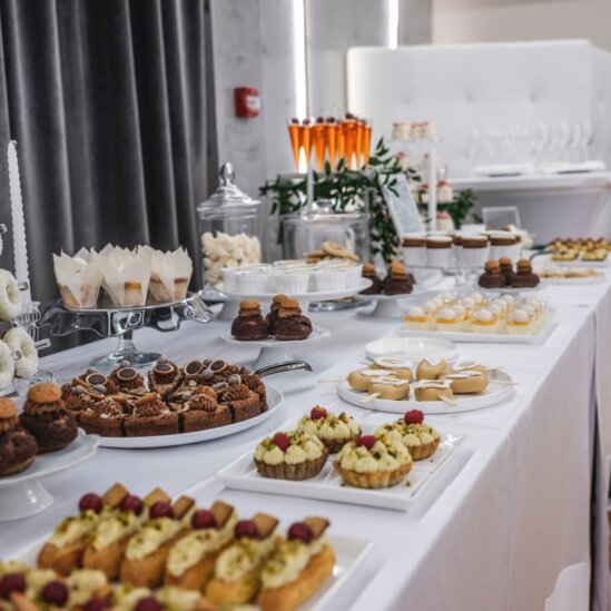
We are very pleased to arrange a business dinner, party, or corporate event in HOTEL EUROPA STARACHOWICE.
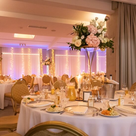
The hotel offers various rooms for hosting special events such as baptisms, birthdays, anniversaries, or consolations.
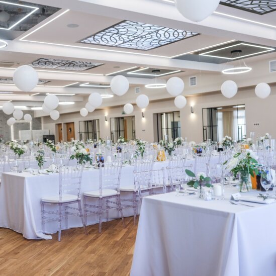
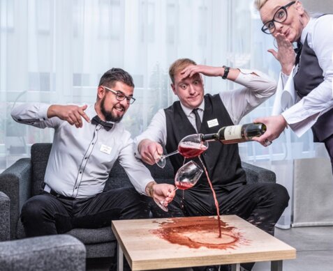
A one-of-a-kind, unique, and special day leaves you with a vivid recollection even after many years. It is worth taking care of the smallest detail of the wedding evening.